blah blah blah
Jeremy Hill
Length: 1.0 mile out-and-backDifficulty (click for info): Beginner
Elevation Gain: 90 feet (+40 feet on return)
Rating (click for info): 3/10
Elevation: 575'
Prominence: 320'
Driving Directions:
Trailhead is at the end of Jeremy Hill Road in Pelham, NH. From Rt. 128, 2.8 miles north of Rt. 111A and 4.4 miles south of Rt. 111, turn west onto Jeremy Hill Road. Drive 1.4 miles, then fork right to stay on Jeremy Hill Road. Drive another 0.6 miles to the end of the road and park in the cul-de-sac. Click here for a Google map.
About the Hike:
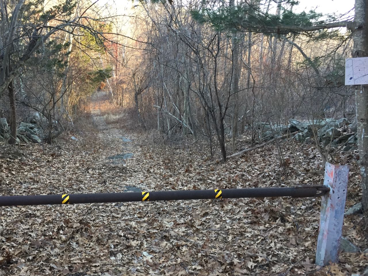
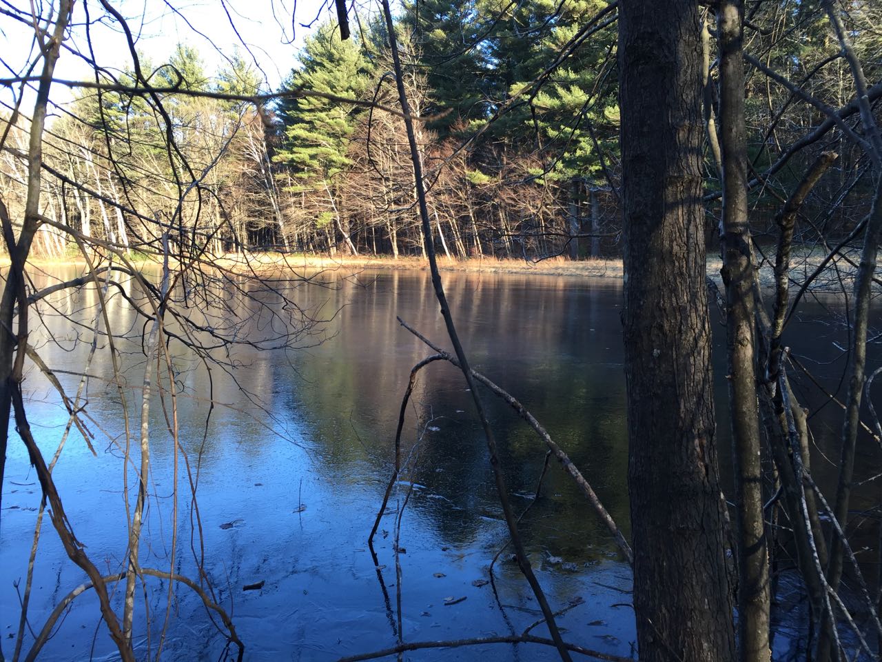
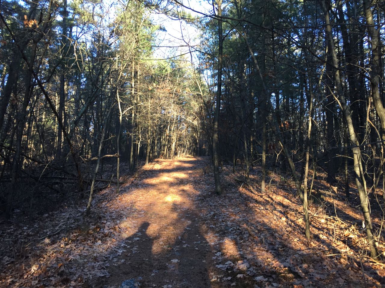
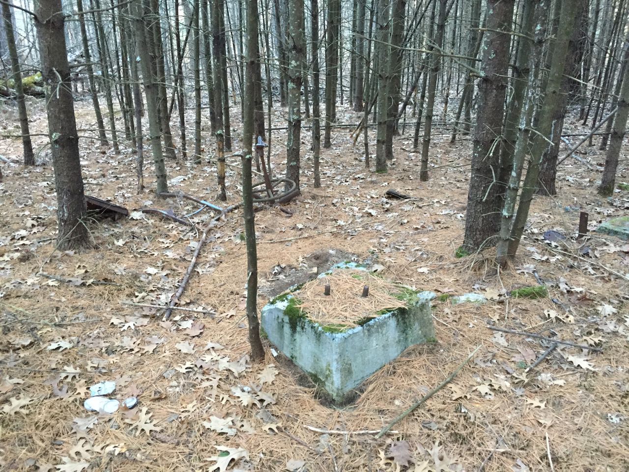
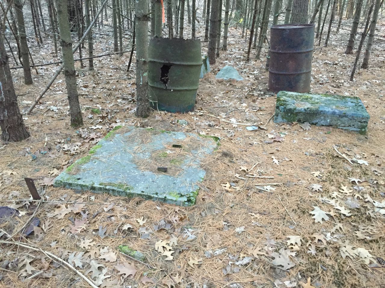
Jeremy Hill is a humble hill in far southern New Hampshire, notable only for having a fire tower from 1917 to 1981. Artifacts from the tower remain on the summit, which is located within the Jeremy Hill State Forest. From the cul-de-sac and the end of the road, look for the unmarked, gated paved path on the south side of the road adjacent to the last house. This is a right-of-way leading to Jeremy Hill State Forest. The path descends 50 feet, skirting the edge of a pond in the yard of a nearby house. The old pavement fades away as the road runs flat across the hillside. At 0.3 miles, turn left onto another old road, crossing the boundary into the state forest. The road climbs gently for 0.2 miles, following the old telephone line to the tower. As the road reaches the summit, it splits into a 450-foot loop around the highpoint. The tower remains, including the four cement footings, metal posts, and barrels, are located in the trees in the center of the loop.
Printable directions page